Profile of Tswelopele Local Municipality
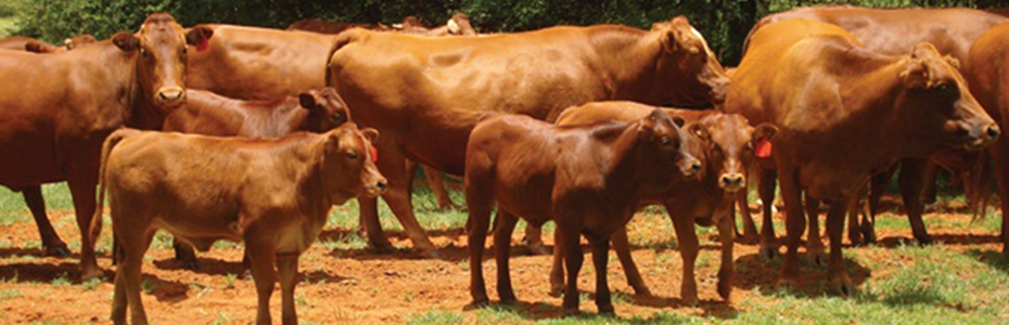
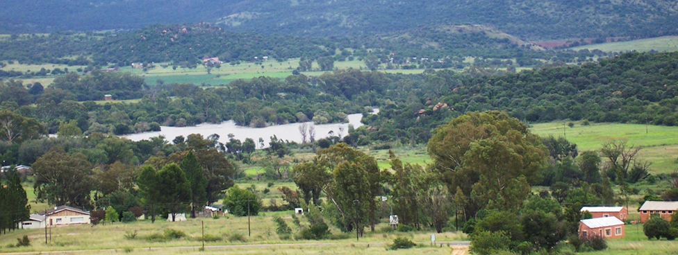
The municipality covers an area of 652407.2ha of which 47 % has remained as natural habitat. There are two formal land-based protected areas covering 16.9ha in the municipality. These are the Bloemhof Dam Nature Reserve (632ha) and the Sandveld Nature Reserve (24883.5ha). There are no RAMSAR sites in the municipality. There are two biomes in the municipality, namely Grassland and Savanna. Six vegetation types, are found in the municipal area. There is one endangered ecosystem, namely Vaal-Vet Sandy Grassland covering 20878ha (3.2%) of the municipality. Seven vegetation types are found in the Tswelopele Local Municipality. These are Bloemfontein KarroidShrubland, Highveld Alluvial Vegetation, Highveld Salt Pans, Kimberley Thornveld, Vaalbos Rocky Shrubland, Vaal-Vet Sandy Grassland and Western Free State Clay Grassland. Two rivers run through the municipality, namely the Vaal and Vet Rivers. Wetlands cover 37304.9ha (5.7%) of the municipal area. Read More...
|


 The Mayor